
our hike out to the site of this video wasn't really a persuasive argument to the contrary; i couldn't get a photo showing just how narrow the path was at points, and just how steep the cliff was immediately to the side of the path. then again, drew and i are notorious acrophobes.
please do not turn the sound up on your computer. whatever i am saying probably SHOULD be drowned out by the high winds. plus, i sound like i'm 10. but what's new?
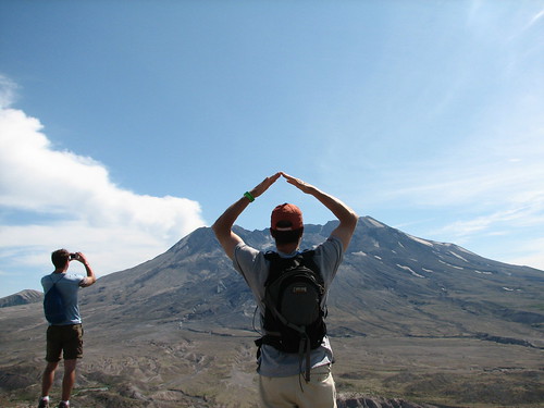
drew demonstrating where the top 1500 ft of the mountain would be had it not slid down into the valley below in 1980, followed by a 500 mph rush of boulder-filled gas. not scary or anything.
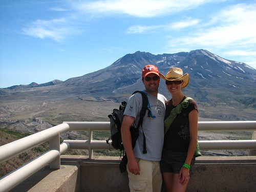
i was apparently hoping to rope me some steers up on that there mountain.
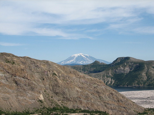
climbers on top of mt. adams 35 miles away watched the eruption as it filled in silver lake (bottom right hand corner of this shot), instantly and permanently doubling it in size. (and yes, we did sit through three separate presentations on the eruption, so i remember a few facts, okay?)
No comments:
Post a Comment